"That's Market Rate": What a Solar or Wind Developer Isn't Telling You About Your Comps
When a solar or wind developer calls an offer 'market rate,' landowners should ask what comps back that claim up, since identical acreage in the same county can swing 30% in value based on drainage and bedrock depth alone. This post explains the soil science in plain terms and shows how to pull USDA NRCS data on both your parcel and the developer's comps before signing.
"It's Market Rate": The Four Words to Stop and Question
A developer's rep says the number on your lease offer is market rate for the county. Maybe it is. But "market rate" is doing a lot of work in that sentence, and most owners never ask what it's actually built on.
Here's the part that should give you pause: two parcels in the same county, same acreage, same zoning, can swing 30% in annual value once you factor in drainage and depth to bedrock. That's not an outlier. That's just how land works. So when someone hands you a number and calls it market rate, the honest next question is: market rate compared to what, exactly?
This matters most right now, mid-summer, when solar and wind offers are landing in mailboxes across corn and soybean country and owners are trying to make a call before the season's decisions pile up further.
Why Identical Acreage Can Be Worth Wildly Different Amounts
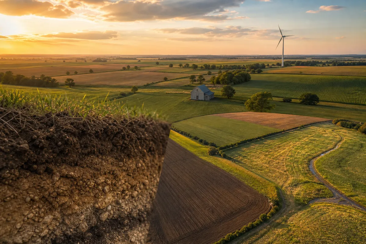
Think about two 40-acre parcels a few miles apart. Same county assessor, same general soil type on the surface. But one sits over well-drained loam with bedrock 15 feet down. The other has a hardpan layer and bedrock at 4 feet.
That difference changes almost everything a developer or a farmer cares about:
- Water movement. Poor drainage means water sits, which affects construction timelines, equipment access, and how a solar array's footings get engineered. It also affects how usable that ground is for row crops if a landowner is comparing lease income to farming income.
- Root zone depth. Shallow bedrock limits how deep roots (or footings, or drainage tile) can go. Less usable soil profile generally means lower productivity and different construction costs.
- Workability. Ground that drains well is easier and cheaper to work, whether that's a planter in April or a construction crew running equipment in August.
None of this requires a GIS degree to understand. It's the same logic a farmer already uses to explain why the back forty always yields worse than the home quarter. Developers know this too. They just don't always volunteer it when they're the ones setting the price.
If you want the deeper version of this, how to read your county's USDA soil survey in plain English walks through exactly what these ratings mean before you sign anything.
The Comp Question Every Owner Should Ask Before Signing
When a developer says an offer is at market rate, ask directly: what parcels are you comparing mine to? Not the county average. Not "similar acreage nearby." The actual comp properties.
Then ask a second question, the one that actually matters: do those comps have the same drainage and depth to bedrock as mine?
If the answer is vague, that's information. A market rate claim that can't name its comps isn't a market rate claim, it's a sales tactic wearing a data costume.
This is also worth checking against what's already happened around you. If neighboring parcels have signed leases, finding out what your neighbors actually signed gives you a real reference point instead of a developer's summary of one.
How to Check the Comps Yourself, Not Just Your Own Parcel
Here's the move most owners skip: pulling USDA soil productivity data not just for their own land, but for the comp parcels the developer is citing.
USDA NRCS soil survey data is public. It's the same source a legitimate developer would (or should) be citing when they talk about market rate. If they haven't cited a source at all, that's your answer right there.
This is exactly what Agriterra Scout's Decision Report is built for. For $89 per parcel, one-time, you can pull the soil productivity data, drainage characteristics, and other USDA-sourced categories for your own land and for the comp parcels in question, using the same federal source a developer would cite, if they cited one. Every figure is labeled Measured, Modeled or Estimate and names its source: USDA NRCS data, USGS water data, and the rest, laid out in plain language so you can put your parcel and their comps side by side and see if the comparison actually holds up.
If you haven't run your own parcel yet, the free parcel analysis takes under a minute and gives you a baseline before you even get to the comp conversation.
The Burden of Proof Belongs to the Person Making the Offer
Here's the pro-owner version of all this: you are not the one who has to prove the offer is fair. They are.
If a developer, broker, or buyer wants to use "market rate" to justify a number, they should be able to name the comps, show the acreage, and stand behind the soil and drainage characteristics of those parcels compared to yours. If they can't or won't, that tells you something about how confident they actually are in the number.
Transparent federal data beats a black-box market rate claim every time, because you can check it yourself instead of taking someone's word for it. That's true whether you're a landowner sitting on an offer, an heir figuring out what inherited ground is actually worth, or a lender trying to sanity-check a deal before you finance it.
So if you've got an offer on the table right now, or you're an heir trying to figure out what a piece of inherited farmland is even worth before anyone makes an offer at all (worth a look at what to do with inherited farmland if that's you), the question is the same: what are they comparing your ground to, and does that comparison actually hold water, literally?
Run your parcel and see what the federal data says before you take anyone's word for what's "market rate." Then reply and tell us what number you were quoted versus what the USDA data showed. We're curious how often the gap is bigger than 30%.
Frequently asked
Why can identical acreage in the same county have different values for solar or wind leases?
Two parcels can swing 30% in annual value based on drainage and bedrock depth alone. Factors like water movement, root zone depth, and workability differ significantly. Poor drainage affects construction timelines and equipment access, while shallow bedrock limits usable soil profile and increases costs.
What should I ask a developer when they claim an offer is 'market rate'?
Ask what comps back that claim. Request to see comparable sales or leases they're using. Pull USDA NRCS data on your parcel and their comps before signing, since identical-looking acreage can have vastly different soil characteristics that justify different rates.
How do I verify solar or wind lease offers using USDA data?
Access USDA NRCS soil survey data to evaluate your parcel's drainage, bedrock depth, and soil profile compared to the developer's comparable properties. Understanding these soil science factors in plain terms helps you negotiate fairly and avoid accepting undervalued offers.
Go deeper: the reference guides
- Solar leasing guide How farmland solar leases work, for the owner reading an offer.
- Solar lease rates by state Published solar lease ranges, state by state.
- Wind turbine lease rates How wind leases pay landowners, and what to check.
See what your acres could earn
Start with a free parcel read: soil, water, flood, and what the ground could earn farmed, rented, enrolled or leased. When a decision is worth it, the Decision Report is $89 once for one parcel, or 5 a month with Land Scout at $39 a month.
Launch Scout