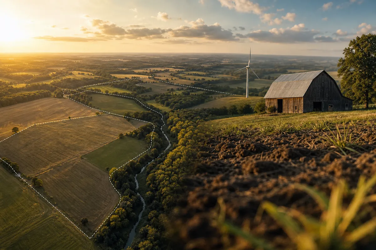
How Big a Parcel Is Yours, Really? Reading Your Acres Before Anyone Else Does
Deed, tax card, and developer acreage rarely match, and total acres aren't earning acres. This guide shows landowners how FEMA, USFWS, and USDA NRCS data shrink the usable footprint and how to check it themselves with AgriTerra Scout.
The deed says one number. The county tax card says another. And the solar developer's letter on your kitchen table quotes a third, measured by someone who would very much like to lease it.
So how big a parcel do you actually have? More to the point: how big a piece of it can earn anything? Those are two different questions, and the second one is the one that sets your rent, shapes a lease offer, and drives a sale price. It is also the first number in a land decision that you, the owner, get to check for yourself.
Harvest season is a good time to do it. The combine is parked or close to it, yields are fresh in your head, and next year's lease talks are coming. Before anyone hands you their acreage, you can check how big a parcel you really have and how much of it is usable.
Why your acreage numbers don't match
Mismatched acreage is normal, and it rarely means anyone lied. Deeds often carry old survey descriptions. Tax cards may round, or leave out road right-of-way. A developer's letter usually reflects their own desktop measurement, drawn for their purposes.
None of those numbers tells you how many acres can grow a crop, hold a panel, or justify a buyer's price. If you want the plain answer on what an acre itself is, our guide on how big is an acre covers it. This post is about the acres that pull their weight.
Total acres are not earning acres
Every parcel has a gross footprint and a useful one. The gap between them is where money quietly leaks out of a lease or a sale. AgriTerra Scout reads that gap from federal sources, and labels each figure so you know how much to lean on it.
Flood zones (FEMA)
FEMA flood maps show which parts of your ground sit in mapped flood hazard areas. That matters for buildings, for some energy siting decisions, and for how a lender or insurer looks at the parcel. In Scout, flood zone overlap comes straight from FEMA's mapping and is labeled accordingly. A field that floods every few springs might still farm fine. It is a much harder sell for a solar array.
Wetlands (USFWS)
The U.S. Fish and Wildlife Service National Wetlands Inventory maps wetlands across the country. Mapped wetland acres can limit what you build, drain, or clear, and they can affect USDA program eligibility. These are mapped features, not a site delineation, so treat them as a strong signal and a reason to ask questions, not a legal boundary.
Soil (USDA NRCS SSURGO)
USDA NRCS SSURGO soil data shows which soils make up your parcel and how productive they are. Two forty-acre fields can be worlds apart if one is prime cropland and the other is steep, eroded, or wet. Soil is often where a "usable acre" stops being a size question and becomes a quality question. If you want to dig into the raw maps, here's how to use the Web Soil Survey.
What's measured and what's modeled
Every figure in a Scout report carries a label: Measured, Modeled or Estimate. We'd rather tell you which is which than pretend everything is gospel. Some numbers are ours. The soil-adjusted rent range, for example, is modeled by AgriTerra from federal soil and rent data. We say so on the page, because a black-box number with no label is exactly the kind of thing you should be skeptical of, from anyone, including us.
How big a parcel do you need for solar, rent, or a sale?
Size matters differently depending on what you want the land to do, and nobody should hand you a magic acreage cutoff without looking at your ground. We won't either.
Solar and wind
For energy leases, usable, buildable, reasonably dry acres near infrastructure count most. NREL data on solar and wind resource gives context on how well your location performs for each. A developer will run their own math; knowing your usable acres first means you aren't negotiating off their footprint.
Cash rent
For renting to a farmer, the question is tillable acres and soil quality. USDA NASS publishes county cash rent figures, which make a useful starting benchmark. Just remember a county average blends good ground and bad, and wet years with dry ones. More on that in whether your county's average cash rent is based on a wet year or a dry one.
A sale
Buyers pay for what the land can do. A parcel with a big wetland or flood-zone share will get valued that way, whether or not the listing mentions it. Better you know before the broker's pitch does the framing.
Weighing them side by side
Compare My Options lays out the land uses side by side, so you can weigh leasing, selling, and farming on the same parcel with the same data. No pitch attached, just the comparison.
How to measure your parcel yourself
You don't need a GIS degree. Here's how it works in Scout:
- In Ohio and Indiana, parcel boundaries load statewide. Enter the address and your parcel comes up.
- Everywhere else, you draw the parcel on the map yourself. It takes a minute, and you decide where the lines go, not a developer.
- Modeled data covers all 50 states, pulled from six federal sources: USDA NASS, USDA NRCS SSURGO, NREL, FEMA, USGS and USFWS.
- Address to plain-language analysis takes under a minute.
Start with the Free parcel read. No account needed.
When to go deeper
If the free read raises questions, or you're heading into a real decision, the Decision Report ($89 once, for one parcel) covers soil, flood, wetlands, rent and USDA programs, with the parcel's options side by side, as a PDF and web read. no subscription required.
If you rent out ground, the Landlord Plan ($199 a year for the first parcel, founding offer) gives you the Decision Report now and your first Rent Letter in January 2027. Additional parcels are $79 a year each. That timing lines up nicely with lease conversations after harvest.
Buying instead? Usable acreage is one line on a longer list. Pair it with what to check before you close on land.
Your next step
Before you set next year's rent or answer that developer's letter, run a Free parcel read at https://scout.agriterra.io and see how big a usable footprint your land really has. Then decide whose acreage number you trust.
Frequently asked
Why does my deed acreage not match my tax card?
Deeds often rely on older survey descriptions, while tax cards may round figures or exclude road right-of-way. A developer's letter usually reflects their own desktop measurement. Mismatches are common and rarely mean anyone is wrong on purpose. What matters more is how many of those acres are usable, which depends on flood zones, wetlands, and soil, not just the boundary.
How many usable acres does my land have?
Usable acres are total acres minus ground limited by FEMA flood zones, USFWS mapped wetlands, or poor soils in USDA NRCS SSURGO data. AgriTerra Scout reads all three and labels each figure Measured, Modeled or Estimate. Start with the Free parcel read, no account needed, to see how your footprint shrinks.
How big a parcel do you need for solar?
There is no single cutoff that fits every parcel. Solar developers look for buildable, reasonably dry acres with good resource and nearby infrastructure. NREL data shows how your location performs for solar and wind. Knowing your own usable acres before talks means you negotiate from your numbers, not the developer's footprint.
See what your acres could earn
Start with a free parcel read: soil, water, flood, and what the ground could earn farmed, rented, enrolled or leased. When a decision is worth it, the Decision Report is $89 once for one parcel, or 5 a month with Land Scout at $39 a month.
Launch Scout