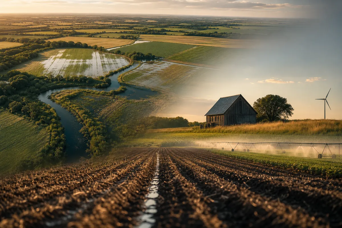
What Water Does to Farmland Value (Drainage, Flooding, and Irrigation)
Whether your land drains, floods, or holds moisture through a dry stretch moves its value as much as the soil underneath — and most of it is public record. A plain-language look at the drainage, flood, and irrigation data that belong in your land's price.
Soil gets the attention. Water settles the deal. A field that can't shed a wet spring or reach a dry August will let you down no matter how well the dirt tests — and that flaw rarely shows up on a walk-through. It shows up in the record, once you know which record to pull.
Water is rarely neutral
A field that sheds water evenly farms itself. One that ponds in the low corner drowns a crop every wet spring; one with no practical way to irrigate bakes in a dry one. The same rain is an asset on one parcel and a liability on the next, and the difference shows up in yield long before it shows up in a listing price.
Three questions the public record can answer
- Does it drain? — The USDA soil survey rates each soil's natural drainage class, which hints at where tile likely already runs and where water tends to sit.
- Does it flood? — FEMA flood maps and USGS streamflow data show whether part of the parcel sits in a floodplain or along water that leaves its banks.
- Can it be watered? — Terrain, depth to water, and nearby wells signal whether irrigation is realistic or wishful.
Wet acres and wetland acres are different problems
A soggy corner costs you a few bushels. A regulated wetland changes what you're allowed to do at all. The U.S. Fish & Wildlife Service maps a national wetlands inventory, and knowing a designated wetland is there before you buy, drain, or build is the difference between a plan and a violation.
Drainage is the improvement nobody sees from the road
Tile drainage is one of the few investments that lifts both yield and value, and it's invisible at a showing. If it's already in the ground, that's value you should be credited for; if it isn't, it's a line in your improvement budget. Either way it belongs in the price rather than in a guess.
From scattered layers to a number you can price
Water data is spread across FEMA, USGS, USDA, and the USFWS, in formats built for agencies rather than owners. AgriTerra's Scout pulls those layers for your exact parcel and puts them in plain language — drainage, flood exposure, and water context beside soil, energy, and value benchmarks. Pin a parcel for a free read in under a minute, or get the full write-up in an $89 Decision Report, one-time and no subscription required.
Frequently asked
How does water affect farmland value?
Water settles the deal on farmland value. Whether land drains, floods, or holds moisture through dry stretches moves its value as much as the soil underneath. A field that can't shed wet springs or reach dry periods will underperform regardless of soil quality, and this difference shows up in yield before listing prices.
What public records show water drainage and flooding issues?
The USDA soil survey rates natural drainage class. FEMA flood maps and USGS streamflow data indicate floodplain location. The U.S. Fish & Wildlife Service maps designated wetlands. These public records reveal drainage patterns, flood risks, and wetland designations before purchase.
What's the difference between wet acres and wetland acres?
A soggy corner costs yield but remains usable. A regulated wetland restricts what you're allowed to do entirely. Knowing a designated wetland exists before buying, draining, or building determines whether you have a viable plan or face violations.
Go deeper: the reference guides
- Wetlands on your land How to tell if mapped wetlands touch a parcel, and what that limits.
- Hydric soils What a hydric rating means for drainage and use.
- USDA Web Soil Survey Pull the government soil map for a field, step by step.
See what your acres could earn
Start with a free parcel read: soil, water, flood, and what the ground could earn farmed, rented, enrolled or leased. When a decision is worth it, the Decision Report is $89 once for one parcel, or 5 a month with Land Scout at $39 a month.
Launch Scout